










During its broadcast of the solar eclipse, NASA separated Crimea from Ukraine
Kyiv • UNN
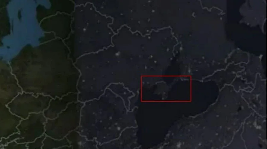
During the live broadcast of the solar eclipse, NASA showed a map of Europe on which Crimea was separated from Ukraine by a border line. The peninsula was depicted as if it belonged to Russia.

During a live broadcast of the solar eclipse, NASA showed a map of Europe on which Crimea was separated from the territory of Ukraine. At the same time, the peninsula was not separated from Russia, reports UNN.
Details
On August 12, a total solar eclipse took place in northern and central Spain, parts of Portugal, Greenland, and Iceland.
During the rare natural phenomenon, NASA conducted a live broadcast and also displayed a map of Europe to show where the eclipse was taking place. Viewers noticed an image of Crimea on the map, separated from mainland Ukraine by a border line. Moreover, the peninsula was depicted as if it belonged to Russia.
Let us remind you
During the draw for the group stage of the 2026 World Cup qualifiers in the UEFA zone, FIFA became embroiled in another scandal. While displaying the countries that cannot face each other in qualifying, FIFA showed the outline of Ukraine without Crimea.